

The ground we walk on every day once lay beneath enormous glaciers, silently moving and reshaping everything they touched. Gradually, without drama, these sheets of ice crafted much of Earth’s terrain. Here, we’ll uncover how these glaciers quietly altered the land, providing a fresh perspective on familiar places.
Ice Sheets That Reshaped North America
Vast ice sheets once bulldozed the North American landscape by flattening the terrain and rerouting rivers. Over Hudson Bay, the ice piled more than two miles deep to press down the crust. Nearly 20,000 years ago, massive glacial ice from the Laurentide Sheet moved into the central United States to occupy the lands that would become Ohio and Illinois.
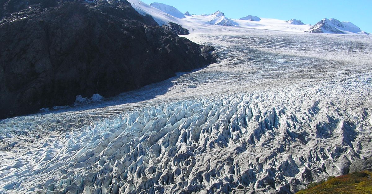
How Glaciers Move And Erode
Glaciers erode land by plucking rock and grinding surfaces through abrasion. These actions form broad U-shaped valleys, unlike the narrow V-shaped cuts made by rivers. Glaciers moved slowly, driven by gravity, as their base slid over meltwater and their core shifted under pressure.
Landforms Created By Glacial Deposition
Ice ages carved the land and scattered distinct clues along the way. In places like Minnesota and New York, you can still spot drumlins stretched out in the direction the ice once moved, moraines marking where it paused, and eskers snaking through the landscape like buried riverbeds.
Sea Level Changes And Coastal Reshaping
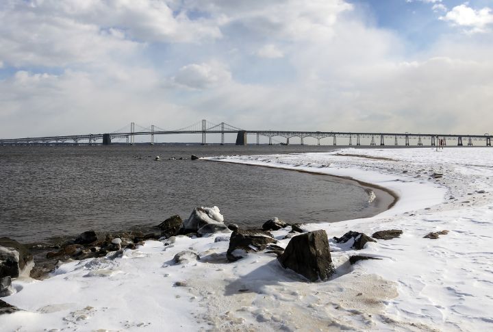
When glaciers melted, the runoff surged into valleys and sculpted new shorelines. That’s how Chesapeake Bay came to be. Over time, cities like New York and Miami took shape on land that these shifts had transformed. Sea levels had fallen 120 meters to expose what is now the ocean floor.
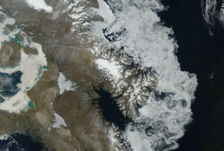
Land Bridges And Migration Routes
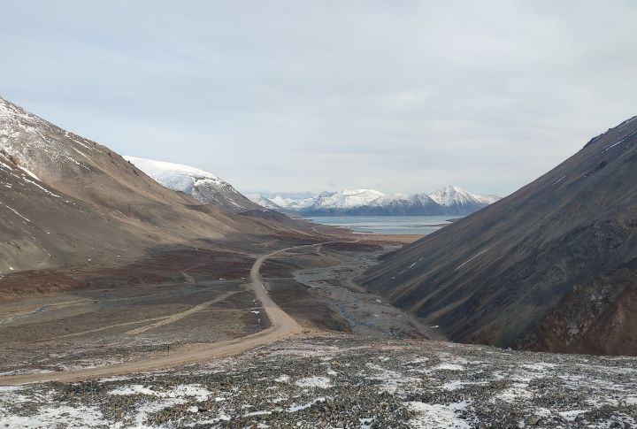
When sea levels were lower, a landmass known as Beringia connected Siberia to Alaska. This connection opened a walking route into North America around 15,000 to 20,000 years ago. Other crossings, such as Doggerland and Sahul, also provided early humans with pathways into Europe and Australasia.
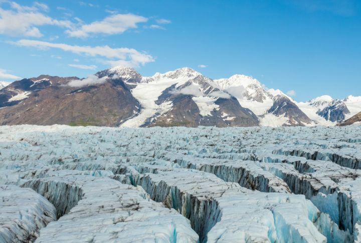
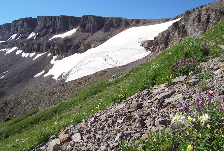
Mountain Features Sculpted By Ice
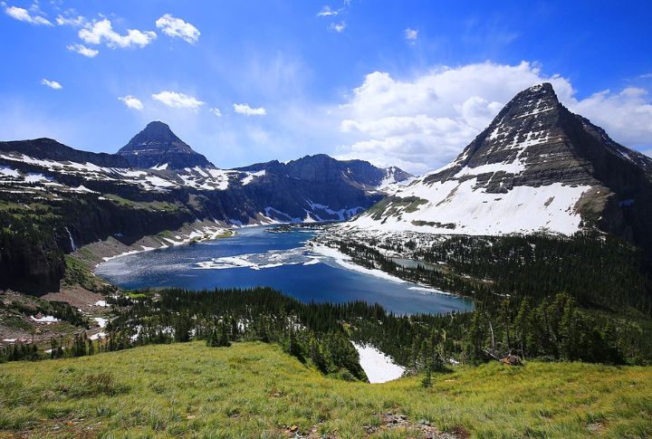
Look up at the sharp peaks in Glacier National Park or the Rockies, and you’re seeing the aftermath of glaciers at work. Over thousands of years, ice ground against rock to form cirques and horns. These jagged shapes completely transformed old, rounded mountain ranges.
Isostatic Rebound And Crustal Uplift
Today, the Great Lakes region continues to rise by approximately 1 to 2 millimeters each year. That quiet shift dates back to the Ice Age, when glaciers pushed the crust downward. Now that the weight is gone, the land is slowly rebounding by altering shorelines and even building plains.
Glacial Terrain And Urban Development
Take a look beneath Boston or Minneapolis, and you’ll find layers of glacial history. These cities sit on drumlins and moraines, which shape more than the view. They influence where roads go and what engineers must consider when planning foundations or water systems.
Ecosystem Shifts And Extinct Megafauna
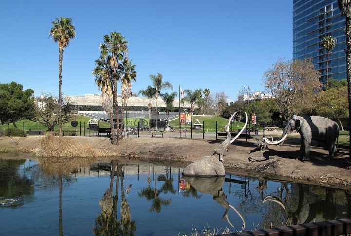
Fossils at La Brea Tar Pits offer a quiet glimpse into colder days, when glaciers pushed tundra south and forced forests to shrink. Back then, mammoths and saber-toothed cats roamed freely. But when temperatures climbed again, those icy habitats disappeared—and so did many of the creatures built for them.
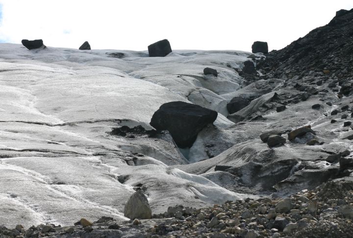
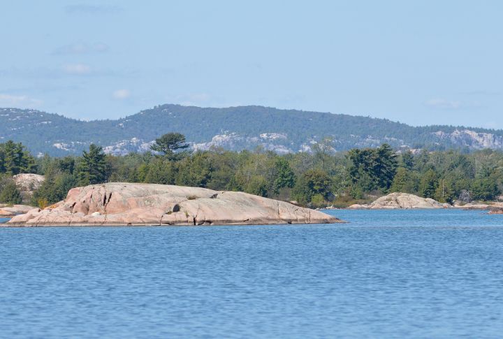
Glacial Erratics And Ice-Borne Boulders
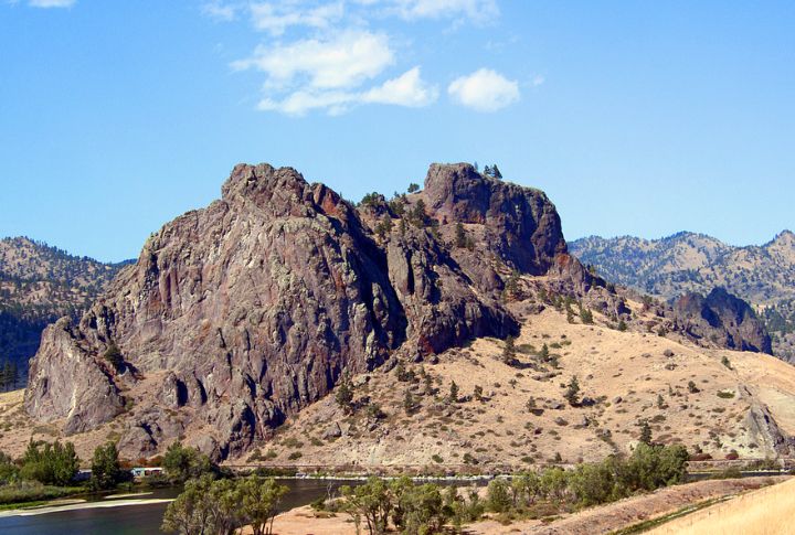
In the Midwest, you might spot granite boulders sitting on limestone plains, far from where they began. These ice-delivered rocks are glacial erratics. Scientists use them to trace the origins of glaciers and their movement, with landmarks like Big Rock in Montana providing clear and substantial evidence.