

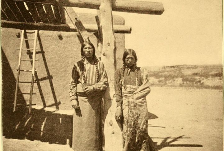
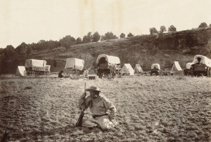
The Puebloans were an Indigenous people who lived across the American Southwest, in places such as New Mexico, Arizona, Colorado, and Utah. They were skilled in multiple disciplines, and their homes included stacked stone dwellings on cliffs and carefully arranged villages on the ground. Their most intriguing structure was their road system, and here’s how they achieved it.
They Cleared Vegetation And Flattened Natural Landforms
Teams removed brush and topsoil to create open corridors, some of which were up to 30 feet wide. The result was a smooth, flat surface ideal for movement and ceremony alike. Each cleared path reflected large-scale collaboration. This workmanship shaped wide avenues, crafted by hands and tools with a shared purpose.
They Used Fire To Break Rock And Clear Paths
In places where traditional land-clearing techniques proved ineffective, builders used fire to break up stones or clear dense vegetation. The heat was helpful because it fractured boulders and loosened the soil, allowing construction to proceed more quickly where tools fell short.
Puebloans Used Various Materials For Surfacing
Gravel, compacted soil and layered stone formed strong foundations. Some sections show paving or filled beds that resisted erosion. Techniques varied by location, but all prioritized durability. There are traces of these roads even today, a show of practical engineering and planning.
They Built Roads In Perfectly Straight Lines Across Rugged Land
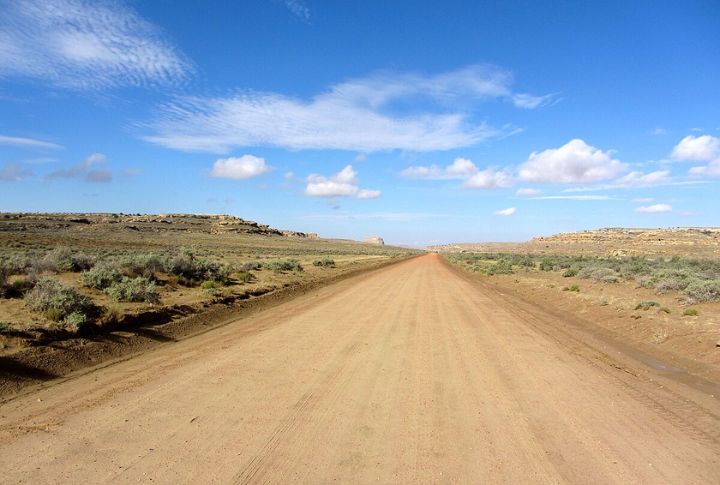
Puebloans cut directly through cliffs, leveled rugged ground, and cleared terrain to hold a straight course. Even steep slopes didn’t cause them to waver. However, some paths bend around empty spaces to suggest symbolic or ceremonial meaning.
Road Segments Were Plotted Using Vantage Points
Builders used distant peaks to plan their alignments. Instead of weaving with the terrain, they created visual sightlines across the desert. These vantage points helped plot direction with accuracy. Careful surveying using the land itself, without compasses or modern tools, was very smart.
They Dug Berms And Built Curbs To Mark The Edges
Excavated soil framed the roads with purpose. Low ridges and stone curbs shaped each route’s width and helped distinguish it from the surrounding land. From high vantage points, the visual clarity of these features stood out. Every edge served the role of guiding movement and reinforcing the road’s presence.
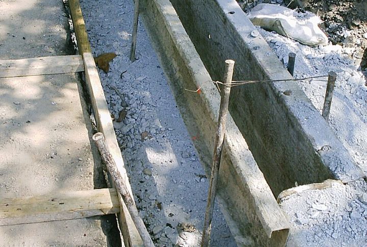
They Used Rammed Earth Techniques To Create Long-Lasting Foundations
To ensure the roads remained stable, the Puebloan builders compacted soil by hand. This technique created strong, lasting surfaces that withstood the seasons and shifting ground. Even after a thousand years, some paths remain visible. Such a process combined local knowledge and physical effort.
Stone Alignments And Shrines Anchored Key Road Points
Shrines and stone arrangements dotted key parts of the roads. These marked stops, guided travel, and likely framed ceremonial routes. Some alignments pointed to natural features on the horizon. Others framed processions and rituals. These markers added meaning to the path, not just function.
Construction Followed A Centralized Plan Across The Region
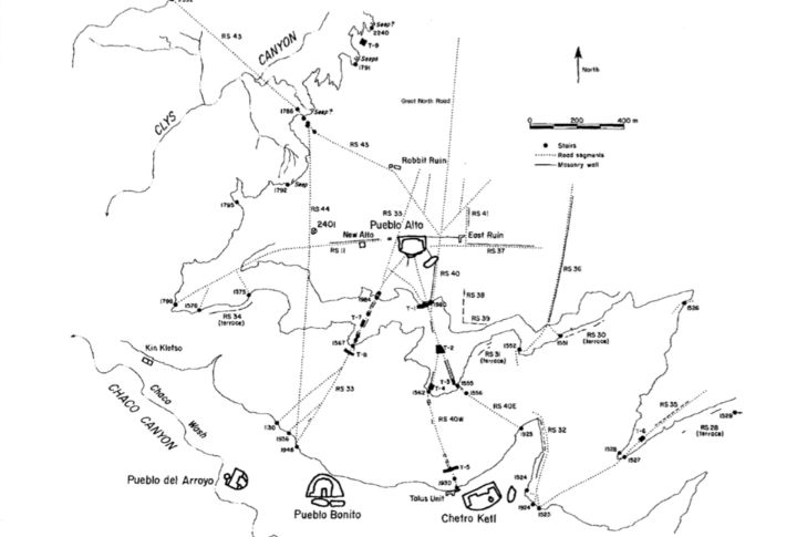
Across the region, road widths stayed consistent, often 15 to 30 feet wide. That kind of planning didn’t happen in isolation. It points to shared standards and coordination across different communities. The scale and consistency speak to leadership and connection that went far beyond the horizon.
Workers Carved Staircases Into Solid Rock Faces
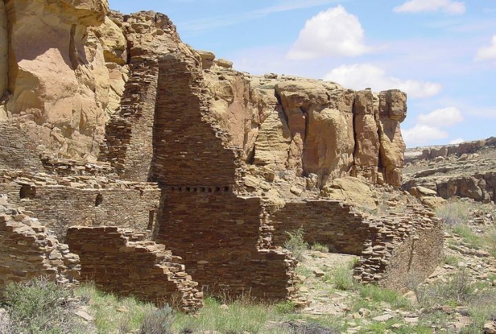
Puebloan workers also shaped footholds and handholds into sheer rock faces, extending paths through vertical drops. These carved steps created access through canyons and cliffs. Worn impressions on the stone reveal steady movement over time. The design joined high ground and low, linking distant places through solid rock.