


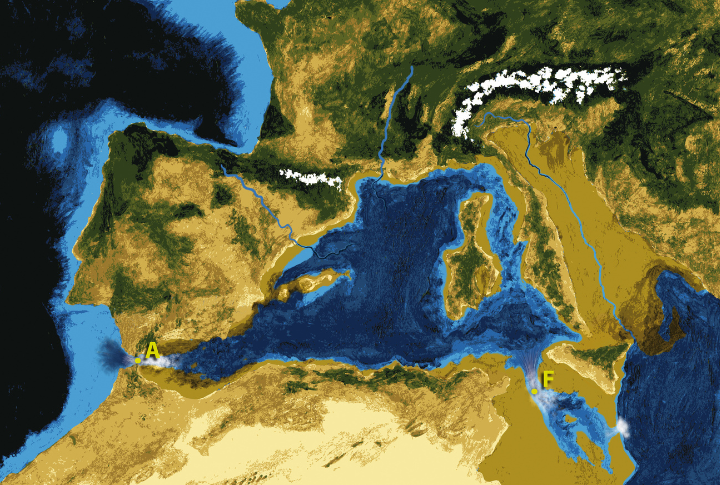
The Mediterranean Basin, a region of immense geological significance, underwent a dramatic transformation millions of years ago, with the most notable event being the refilling of the Mediterranean Sea. Here are ten key geological findings that shed light on how the Mediterranean Basin refilled.
The Messinian Salinity Crisis
The Mediterranean Sea experienced significant evaporation during the Messinian Salinity Crisis (5.97 to 5.33 million years ago), leading to intermittently refilled basins. While some regions may not have fully dried out, extensive salt deposits reshaped the area. This arid phase ultimately ended with the Zanclean Flood, which rapidly refilled the basin.
Zanclean Flood Discovery
The term “Zanclean Flood” refers to a massive flood event that refilled the Mediterranean Sea. Scientists previously believed that the Mediterranean gradually refilled over thousands of years. However, new geological evidence indicates that the flood was much quicker and more intense.
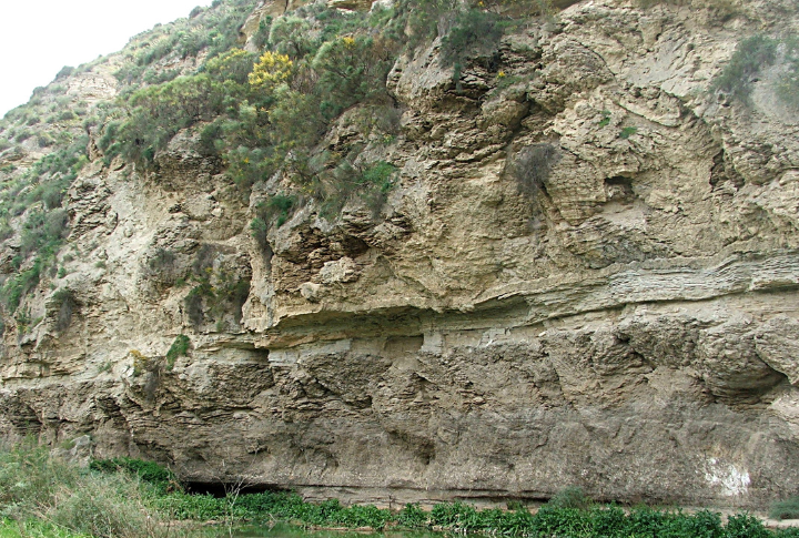
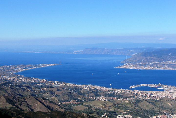
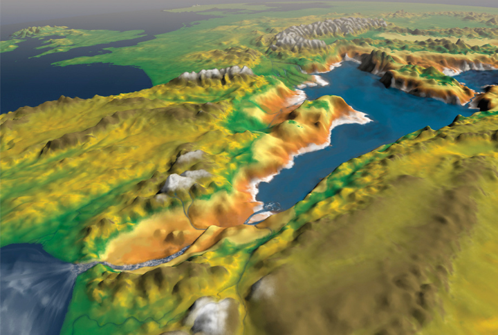
Geological Features In Southeast Sicily
An international team, including researchers from the University of Southampton, identified distinct geological features around Southeast Sicily. These features are seen as evidence of a colossal flood that surged through the region, permanently altering the Mediterranean’s region.
Enormous Water Flow And Discharge Rates
Estimates suggest that the Zanclean Flood had discharge rates between 68 and 100 Sverdrups (Sv). For context, one Sverdrup equals one million cubic meters per second. This immense flow rate dwarfed any other known floods in Earth’s history, contributing to the rapid refilling of the Mediterranean Basin.
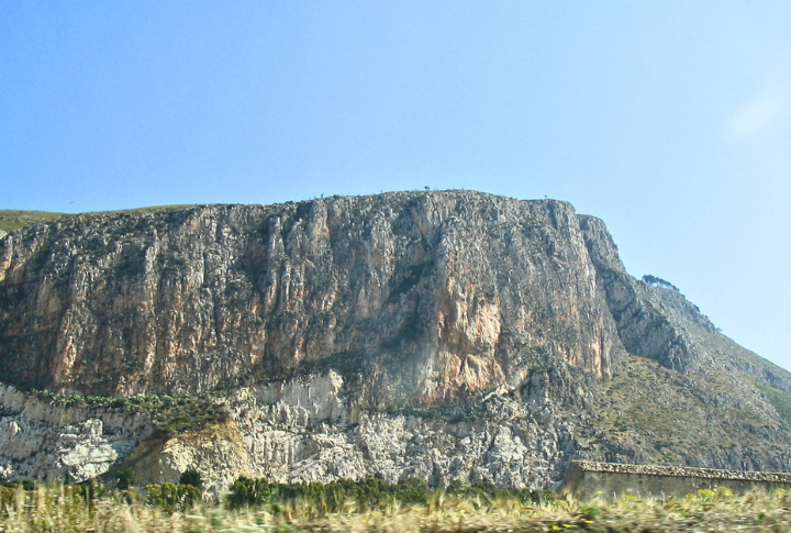
Asymmetric Ridges And Streamlined Landforms
In their investigation, scientists studied over 300 asymmetric, streamlined ridges across the Sicily Sill, a submerged land bridge that once separated the Mediterranean’s eastern and western basins. These ridges are believed to have been shaped by the high-velocity, turbulent water flow from the flood.
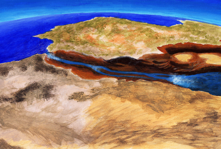
The Great Erosion Channel
The 2009 discovery of an erosion channel stretching from the Gulf of Cadiz to the Alboran Sea was a turning point in understanding the megaflood. This discovery challenged the gradual refilling hypothesis, supporting the theory that a single, massive flood event was responsible for refilling.
Deposits Of Eroded Material
The team’s study found rocky debris and materials that were deposited atop the ridges, indicating that the water flow was swift and powerful. The debris found was likely eroded from the ridge flanks and surrounding areas, which provides evidence that the flood moved large volumes of material across vast distances.
W-Shaped Channel And Noto Canyon
Seismic reflection data, often referred to as “geological ultrasound,” revealed a W-shaped channel on the continental shelf east of the Sicily Sill. This channel, carved into the seabed, likely acted as a conduit for floodwaters. It connected the ridges to the Noto Canyon, an underwater valley in the eastern Mediterranean.
Computer Models Of Flood Behavior
Researchers employed advanced computer models to simulate the megaflood’s dynamics. These models suggest that the behavior of floodwater changed over time. Initially, the flow intensified, reaching speeds of almost 32 meters per second (72 miles per hour). As the water surged, it eroded deeper channels.
Persistence Of Landforms Over Time
One of the most remarkable aspects of the Zanclean Flood is how its effects remain visible in the geological record more than five million years later. The landforms and features created by this event continue to persist. Researchers believe this ongoing persistence can lead to further discoveries.